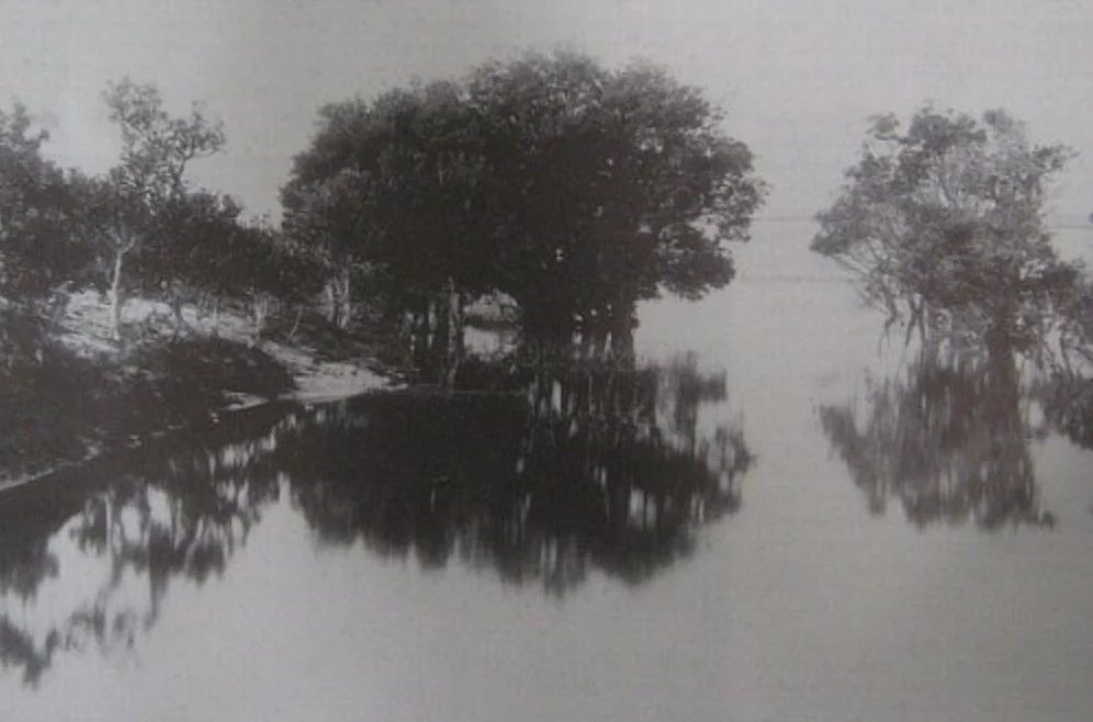
The Bondi Lagoons
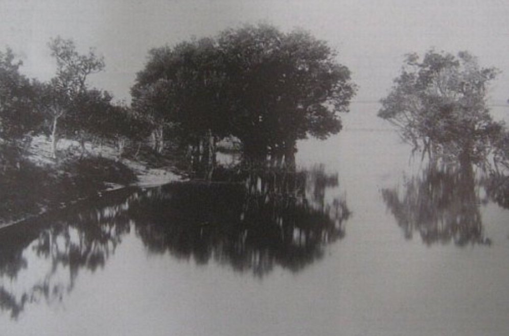

The Bondi Lagoons
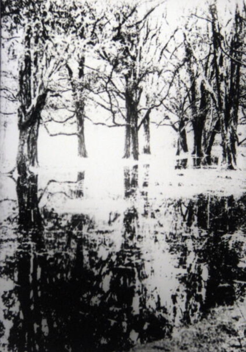
Prior to European settlement the land between Bondi Beach and Rose Bay was a series of fresh water lagoons and sand dunes of varying heights.
The first written reference to these Bondi lagoons is on a map dated 1868. However, they would have been well known much earlier than this to the gadigal, bidiagal and birrabirragal as a good supply of fresh water and food.
A 1889 Water Board map shows specific locations for the lagoons. This image depicts a lagoon that covered an area approximately bounded by Lamrock Avenue to Roscoe Street and Consett Avenue to Jacques Avenue / Gould Street.
______________________
Archival photo courtesy Waverley Library Local History Image Collection